Public Park
Dates
unspecified
Excavation Dates
unspecified
Garden Description
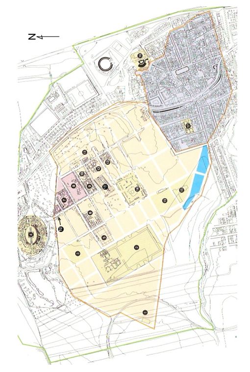
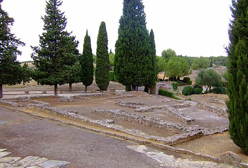
This triangular area, number 19 on the map and on the visitor's left immediately after entering the walled area, is the only public garden space thus far identified in Roman Spain. Its triangular in form is determined by the angle between the city wall and the grid of the streets.
Maps
Images
Bibliography
- Antonio Garcia y Bellido,Colonia aelia augusta Italica, Instituto Español de Arqueologia, (Madrid 1960). (worldcat)
- A. Caballos and P. León,ITALICA MMCC: Actas de las Jornadas del 2.200 Aniversario de la Fundación de Itálica, Sevilla, Consejeria de Cultura, (Sevilla 1997).(worldcat)
- A. Caballos, J. Marín and J. M. Rodríguez Hielgo, Itálica Arqueológica, Universidad de Sevilla, (Sevilla 1999). (worldcat)
- J. M. Blázquez, 'Los jardines en la Hispania Romana,' Historia de los Parques y Jardines en España, Edita Grupo FCC, (Madrid 2001), 35. (worldcat)
Keywords
Places
- Public Square at Italica (Pleiades:810966695)
- Italica (Pleiades:256231)
- Itálica (deserted settlement) (TGN:7007822)
- Baetica (Pleiades:862)
- Baetica (province) (TGN:6000567)
- Andalusia (Pleiades:195101632)